GIS datasets
 The process of creating the AONB wide Historic Landscape Characterisation and Historic Environment Action Plans has created a wealth of new map based information on the history and archaeology of the AONB.
These map layers can be used in a Geographical Information System such as MapInfo and ArcMap to explore the historic environment of the AONB or as a basis for further research and are available by contacting the AONB Office.
The datasets available include:
- The Dorset Cursus and the prehistoric sites surrounding it
- Late Iron Age Tribal Areas
- Approximate position of the Roman and Post Roman Civitas
- Sphere of 6th Century AD Saxon influence
- Location of Medieval Orders in the AONB
- Ancient Medieval County Boundaries
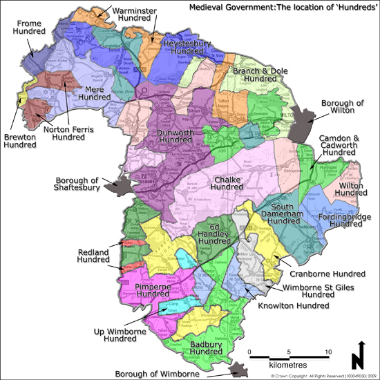
- Ancient Medieval Hundred Boundaries
- Ancient Medieval Parish Boundaries
- Boundary 'Gates' on the Ancient County Boundaries
- Medieval Chases and Forests in the Vicinity of the AONB
- Inner and Outer Bounds of the Cranborne Chase
- Walks in the Inner Bounds of the Cranborne Chase
- Pre Reformation Land Holdings
- Post Reformation Land Holdings
- Water Mills in the AONB
- Quarries in the AONB
- Industrial Sites in the AONB
- Water Meadows in the AONB
- Droveways in the AONB
- Railways in the AONB
- Historic railway stations in the AONB
- Milestones in the AONB
- Pilot Historic Routeway Characterisation
- Historic Context and History of the B3081
- Full AONB wide Historic Landscape Characterisation dataset,includes information on Enclosed Land, Open Land, Common Land, Historic Parks and Gardens
- Historic Character Areas (part of the AONB Historic Environment Action Plans