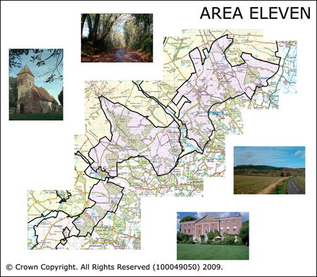
Area 11 Downland Hills
Area 11 is in the southeast of the AONB to the west of Fordingbridge, cut by three chalk streams (see Area 3E and Area 3F; and Sweatford Water). The character of the area is critically related to the countless attributes in the neighbouring areas. The surrounding border landscapes right around the AONB are also obviously of huge relevance. The northern edge of the area meets the southern downland belt (see Area 12). This is a landscape of gentle chalk slopes, shelving in places and becoming steeper to the west.
 Summary Description
- A mosaic of pre 1800 veteran woodland, pre 1800 fields and assarts interspersed with small parks.
- Ancient parish boundaries take an east west slice across the landscape
- Concentration of Medieval deer parks.
- Concentration of historic parks and gardens.
- Roman villa at Rockborne which is open to the public.
- Prehistoric monument complex at Damerham.
The full Historic Landscape Character Area description is available to download from Historic Environment Action Plan Pages