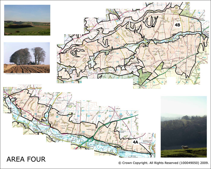
Area 4 Northern Wylye and Ebble Valley sides
This area comprises two discrete areas of the AONB. Area 4A is comprised of the northern side of the River Wylye in the north of the AONB has far west as Warminster. Area 4B is comprised of both the southern and northern sides of the Ebble Valley. This forms a broad valley which has eroded through the chalk geology including many dry tributary valleys which are deeply eroded into the chalk slopes giving rise to an undulating land form.
 Summary Description
- The historic landscape in these areas is extremely homogenous.
- The known archaeological record is dominated by undated circular and linear features, enclosures and field systems.
- Blocks of 19th century enclosure dominate.
- Ebble Valley has been subject to sustained pattern of historic land holdings
- There are blocks of regular 20th century plantation.
The full Historic Landscape Character Area description is available to download from the Historic Environment Action Plan Pages