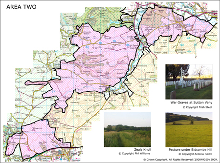
Area 2 Sutton veny, Cold Kitchen Hill and Zeals Knoll
Area 2 is comprised of three discrete areas in the northwest of the AONB. The majority of the area is formed of the same Greensand terrace upon which Kilmington Common sits. This is a largely arable landscape with limited tree cover. The exception is formed by the higher ground of Bidcombe and Brimscombe Hills which are outlying hills of the western escarpment of the West Wiltshire Downs and as such is dominated by chalk. These outliers reformed by steep undulated hill sides rising out of the terrace cut by chalk combes.
 Summary Description
- Cluster of nationally important Prehistoric sites in the vicinity of Sutton Veny.
- Pockets of older land use including unimproved chalk grassland for example at Bidcombe Hill.
- Dispersed settlement of isolated pre 1800 and 19th century farmsteads with the exception of Sutton Veny. Local building material is commonly Chert greensand and red brick.
- Regular 18th and 19th century enclosure obscuring traces of earlier field boundaries.
- Iron Age and Romano British shrine on Cold Kitchen Hill. Unfortunately this was poorly excavated in the early 20th century, although spectacular finds were recovered.
- Veteran woodland of Southleigh and Eastleigh Woods.
The full Historic Landscape Character Area description is available to download from the Historic Environment Action Plan Pages