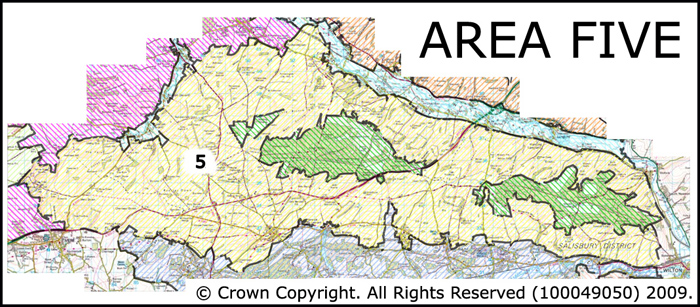
Area 5 West Wiltshire Downs
The West Wiltshire Downs is a distinctive large scale landscape covering an extensive area of the northern half of the AONB. The West Wiltshire Downs extends from the village of Wilton in the east to Mere in the West.
 Summary Description
The area comprises two discrete areas of the AONB
- Large scale open 19th and 20th century fields the boundaries of which often cut across the prevailing topography. These were created from vast areas of former downlands.
- Pockets of open downland survive.
- Extremely rich archaeological record
- The area is notable for its Iron Age and Romano British archaeology,
- Both areas are associated with historic road junctions.
- The area is crisscrossed by Roman roads and other ancient routeways such as droveways.
- Building evidence is sparse except in the villages to the south of the area
The full Historic Landscape Character Area description is available to download from theHistoric Environment Action Plan Pages