Area 8 Chalk Escarpments
There are three areas that form the steep escarpment edges of chalk downland: the east-west Fovant escarpment, the east-west Melbury to Winkelbury Hill escarpment and the wider north-south Melbury to Blandford escarpment.
Summary Description
- A notable feature is their steep sloping topography. They are primarily formed of semi-enclosed chalk grassland.
- The Melbury to Blandford escarpments is less steep in some locations and is wider and demonstrates a greater range of historic landscape types.
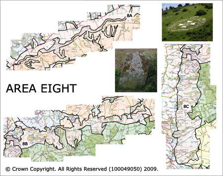
- Notable features are the Fovant Chalk Badges.
- Only area 8C is settled and even then sparsely. The settlement focus is along the lower undulating slopes of the escarpment and forms a series of nucleated pre 1800 settlements.
- Veteran woodland is located within the combes of the escarpment and plantations are often situated along their crests.
- Ancient routeways run across the edge of the escarpments. These are connected to the wider landscape by parallel droveways and bridleways.
- The known archaeological record is dominated by prehistoric archaeology including Bronze Age round barrows and Iron Age hillforts.
The full Historic Landscape Character Area description is available to download from the Historic Environment Action Plan Pages