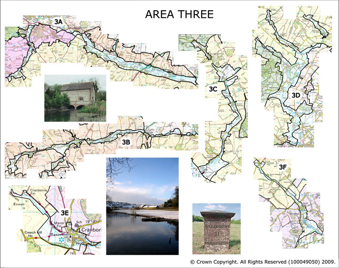
Area 3 Chalk River Valleys
This area comprises six discrete chalk river valley bottoms: The Wylye Valley, The Ebble Valley, and the tributaries of the Stour and Avon Valleys.
 Summary Description
- The area is by historic landscape types associated with valley bottoms.
- This includes networks of water meadows and meadows interspersed with small scale woodland.
- The Wylye Valley formed an historic boundary land in the Iron Age, Roman and Early Medieval periods.
- Ancient parishes form slices across the river valleys.
- The Ebble Valley has seen a sustained pattern of land ownership and land holdings.
- Historic sinuous routeways of parallel roads and tracks follow the river bottoms punctuated by historic crossing points.
- High density of historic settlement and houses based on a Medieval pattern.
- Tree cover is a vital part of the landscape forming sinuous ribbons along the valley floor.
The full Historic Landscape Character Area description is available to download from the Historic Environment Action Plan Pages