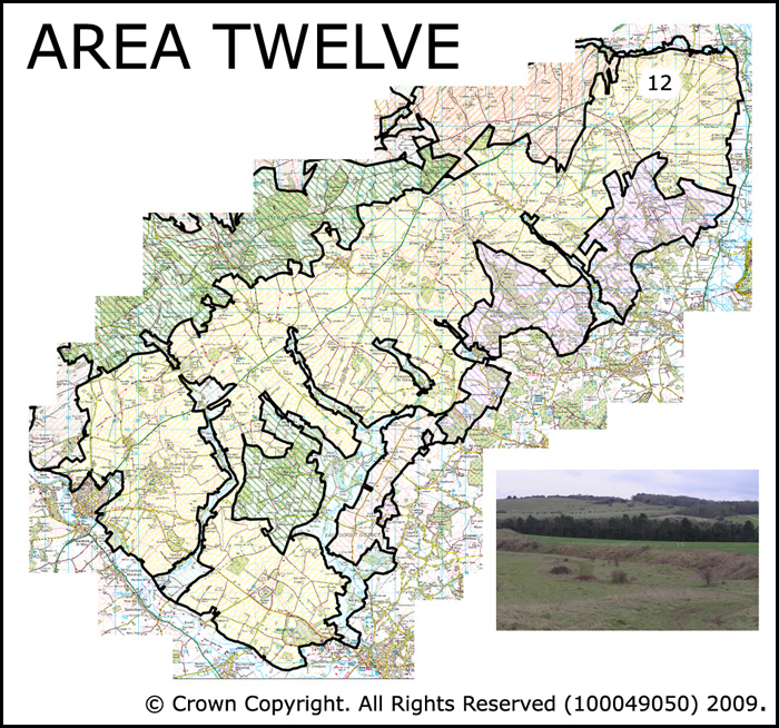
Area 12 Southern Downland belt
The Southern Downland Belt extends across the southern part of the AONB. It is a large scale landscape with a solid geology of Upper Chalk. Intensive arable farming is the dominant land use with small areas of improved pasture and remnant chalk grassland. Pockets of woodland also occur. The land form is comprised of gentle slopes which slope down towards the south east. These downs are cut by a series of distinct river valleys (see Area 3 C-F).
 Summary Description
- Large scale open 19th and 20th century fields the boundaries of which often cut across the prevailing topography. These were created from vast areas of former downlands.
- Pockets of open downland survive.
- Extremely rich archaeological record.
- The West Wiltshire Downs is notable for its Iron Age and Romano British archaeology, while the southern downland belt is famous for its spectacular Prehistoric archaeology, including the Dorset Cursus.
- Historic road junctions.
- The areas are crisscrossed by Roman roads and other ancient routeways such as droveways.
- Coherent patterns of nucleated historic settlement with locally distinctive vernacular architecture.
- Nationally important historic parks and gardens.
The full Historic Landscape Character Area description is available to download from the Historic Environment Action Plan Pages