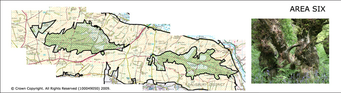
Area 6 Great Ridge and Grovely
The woodlands of Great Ridge and Grovely Woods are located running east west along the top of the ridge of the West Wiltshire Downs from northwest of Wilton to the northeast of Higher Pertwood. They form two extensive areas of woodland cover. The underlying geology is chalk but the woodlands are found on the clay with flints which lies above the chalk and caps the ridgeline. Both Grovely Wood and Great Ridge are a mosaic of deciduous, coniferous and mixed woodland.
 Summary Description
- The ancient woodlands of Grovely and Great Ridge, marked by a high occurrence of conifer plantations.
- Roman road crossing east west across the woodland.
- Woodland divided into blocks by woodland rides and grid like forestry tracks.
- Areas of historic woodland clearance.
- Iron Age and Romano British earthworks on the woodland fringe.
- Medieval hunting forest of Grovely and the ancient parish boundary of Grovely.
- Continuity of land holding in Grovely Wood.
The full Historic Landscape Character Area description is available to download from the Historic Environment Action Plan Pages